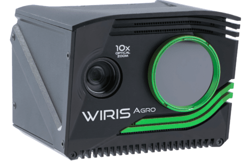


WIRIS Agro
CROP WATER STRESS INDEX CAMERA
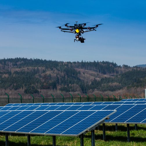
The Workswell WIRIS Agro is the first device of its kind. Designed to map water stress across large areas, the Agro has a critical role to play in the field of precision agriculture. The device facilitates the determination of the water stress value in a given stand of plants. This information can then be used to determine yield maps, optimize irrigation, and fine-tune water management strategies.

In the dry season, precision farmers want to measure the actual effect of drought on their crops. However, this can be difficult to identify. For example, crops may respond differently to drought if they have access to groundwater, and each plant has a different root system. These factors make it hard to tell how much a particular crop might be suffering during a given drought. That’s where the WIRIS Agro comes in. This thermal camera makes real-time measurements of the actual effects of drought on a crop.
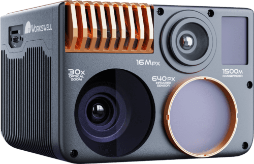
10x Optical
antivibration zoom
CWSI onboard processing
in real-time
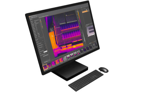
Software CWSI analyzer
in package
CWSI
Colour-map
4 colour maps management evaluation
Temperature sensitivity
0.03 °C (30 mK, 0.054 °F)
Revolutionizing Precision Agriculture
Master your vision with camera WIRIS Agro
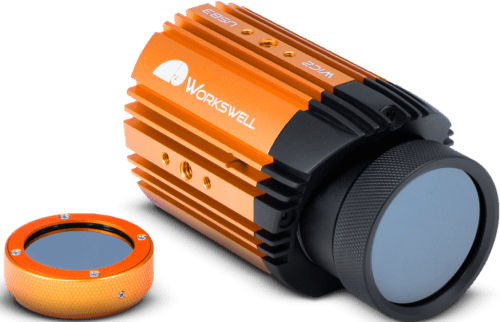
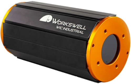
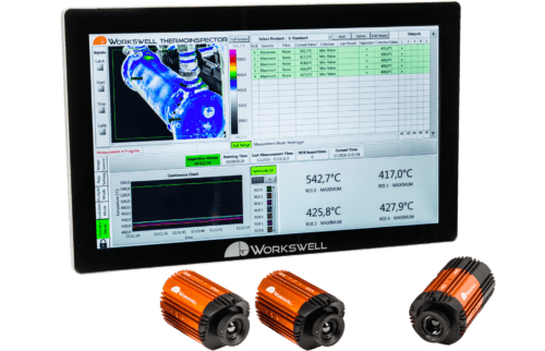
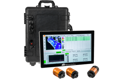
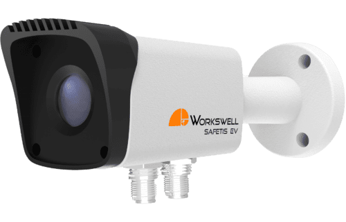
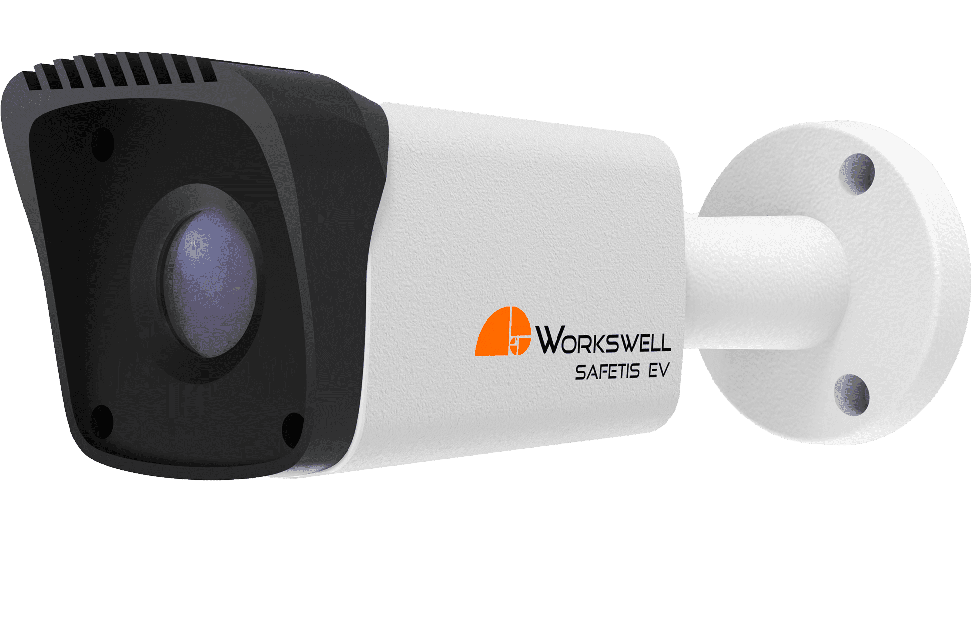
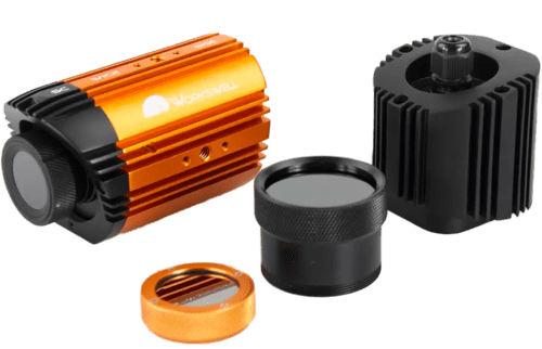
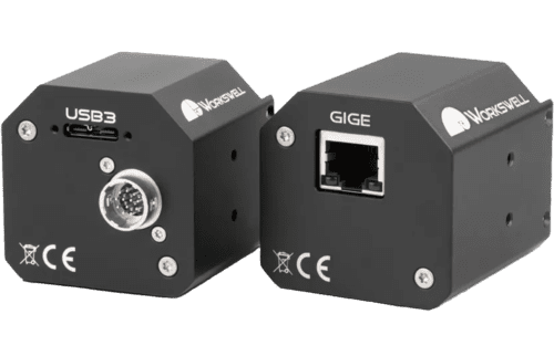
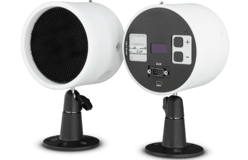
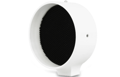
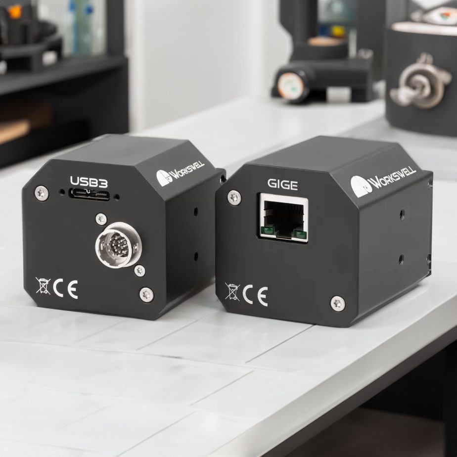
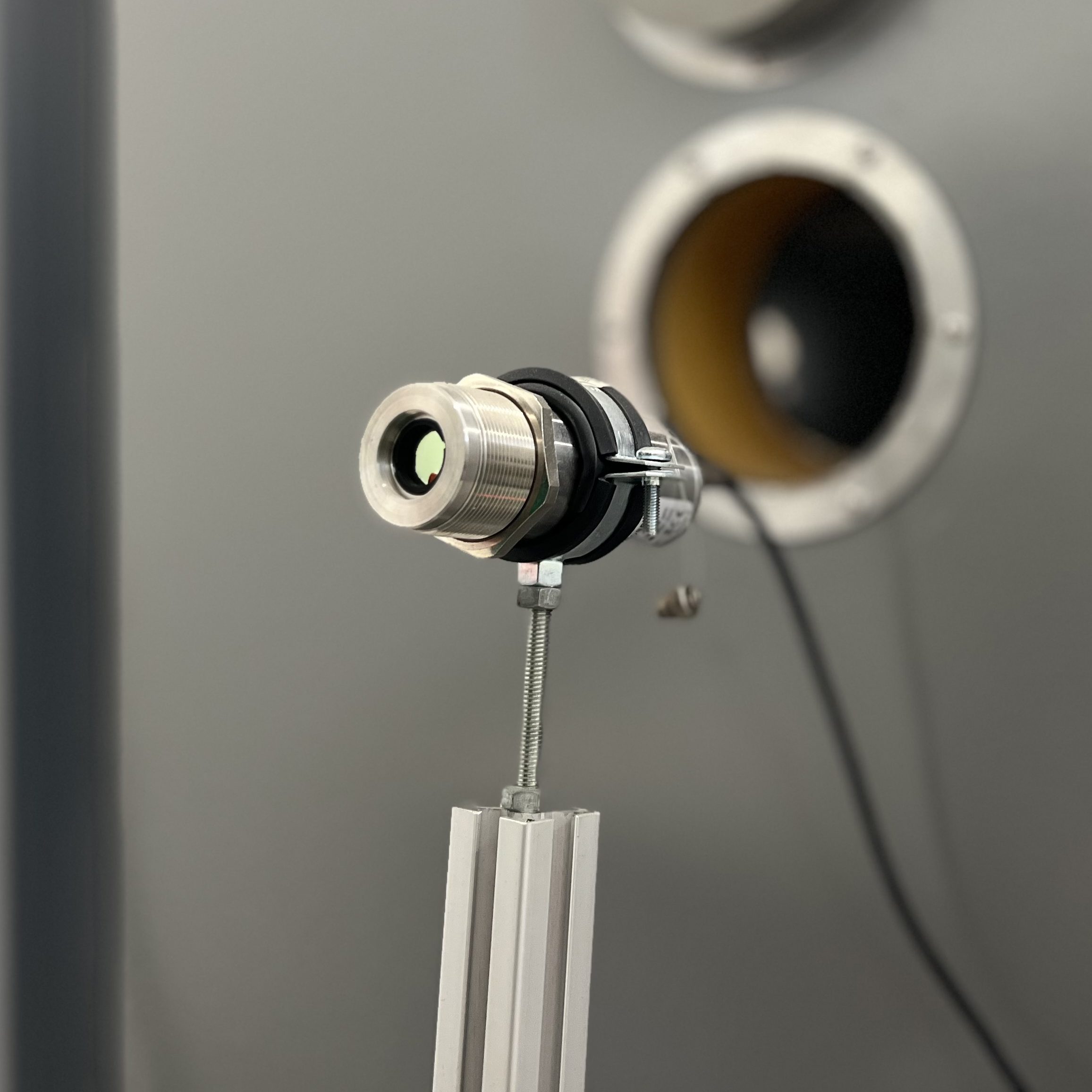
Product photos


Connectivity
& interfaces

Ethernet

HDMI

USB 3.0

Micro USB

S.Bus & CAN protocol

UART

MavLink

Digital trigger input
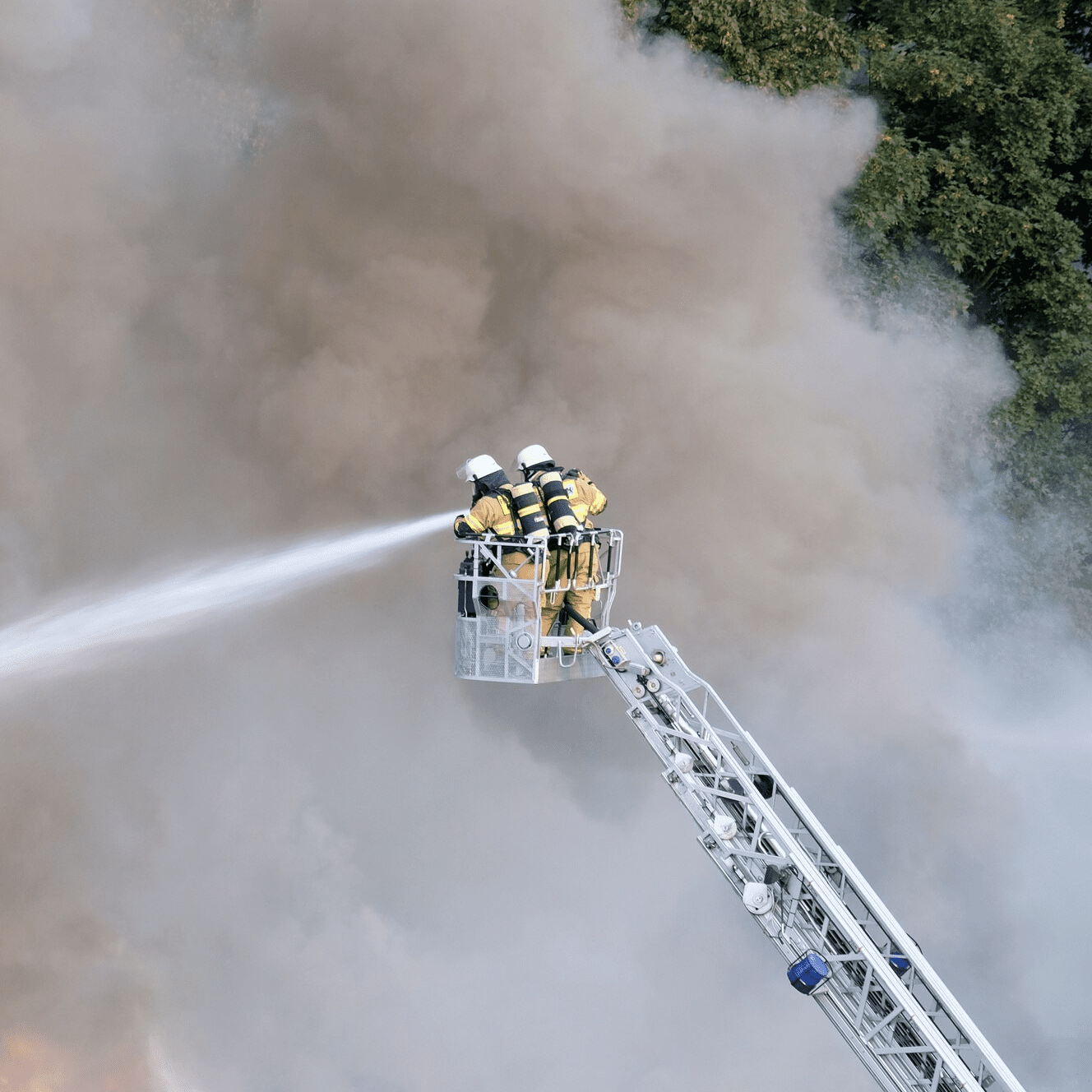
Applications
Thermal and infrared imaging technologies, embodied in devices like thermal cameras and infrared cameras, have transformed several industries.. Their integration into UAVs as payloads, extends their capabilities. These tools are now essential in environmental monitoring, industrial inspections, and safety operations. Drones equipped with radiometric thermal cameras offer detailed, quantitative temperature analysis, crucial in applications like infrastructure inspection and environmental assessments.


Software
At Workswell, we offer more than just state-of-the-art thermal cameras; we provide a suite of sophisticated software solutions designed to maximize the potential of your thermographic equipment.
Thermolab is a software tool for detailed thermogram analysis, offering standard data analysis functions and extended features like GPS image location and displaying digital RGB images.
An advanced operating system for thermal cameras, ensuring full real-time data streaming and control during flights, with easy camera control through various interfaces.
This software development kit likely aids in integrating WIRIS cameras with systems using CANbus and UART interfaces, allowing for advanced control and data management.
An interface used for integrating UAV cameras with MAVLINK systems, allowing for advanced control and data transmission capabilities.
Explore Key Insights: Studies and Articles
Dive into the essence of innovation with our curated selection of studies and articles on our products. This compilation offers a glimpse into the advanced features, real-world applications, and expert insights surrounding our solutions. Ideal for professionals, researchers, and technology enthusiasts, it provides a concise overview of how our products are making a difference across industries. Engage with concise analyses and discover the impact and potential of our technologies, all in one place. Whether you're familiar with our offerings or exploring them for the first time, this collection is designed to inform, inspire, and intrigue.
WIRIS Agro
- Rapid Evaluation of Mandarin Crop Water Stress Index using CWSI Infrared Camera
- Crop Water Stress Identification and Estimation: A Review
- Real-Time Assessment of Mandarin Crop Water Stress Index
- AI-Based UAV Swarms for Monitoring and Disease Identification of Brassica Plants Using Machine Learning: A Review
- From Stress to Success: Harnessing Technological Advancements to Overcome Climate Change Impacts in Citriculture
- Potential of UAV-based sun-induced chlorophyll fluorescence to detect water stress in sugar beet
- Rapid Estimation of Water Stress in Choy Sum (Brassica chinensis var. parachinensis) Using Integrative Approach
- Rapid Estimation of Crop Water Stress Index on Tomato Growth
For engineers and technicians
Related documents